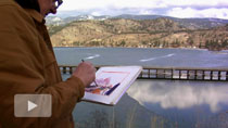
The Columbia River in Canada
In March 2010, after spending 4 days near the Columbia Icefield, I found myself at a heliport near Golden, BC, with a rental car, a week of free time, and my field watercolour kit. I decided to follow the Columbia River south, by driving to Revelstoke through Rogers Pass.
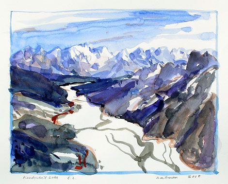
Kinbasket Lake, British Columbia, 2010, watercolour on paper, 9.5 x 11.5 inches
The Pass is dramatically steep and narrow and ends at Revelstoke, a railway town built on the Columbia’s flood plain, with high mountains on all sides. I drove up Mount Mackenzie and from a point midway up the mountain sketched the view back over the town and up the valley of the Columbia River. From this height the Monashee mountains seem to extend forever.
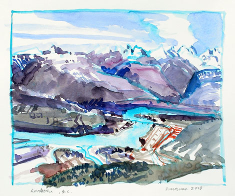
Revelstoke, British Columbia, 2010, watercolour on paper, 9.5 x 11.5 inches
I travelled south the next day, across Arrow Lake on the car ferry to Galena Bay. The landscape is stunning but I didn’t stop until I came to a roadside pull off above the logging town of Slocan. The mill was closed, its equipment sold and the town was quiet. I sketched the view south, over the town and down the Slocan Valley.
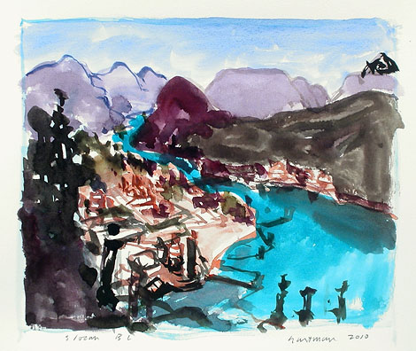
Slocan, British Columbia, 2010, watercolour on paper, 9.5 x 11.5 inches
On the way to Trail, I detoured to Nelson, and sketched the view up the Kootenay River towards the town. Was this the same Kootenay River that goes south from the Columbia headwaters at Canal Flats and crosses into the States? But here the river is flowing west past Nelson through a series of hydro dams towards Castlegar where it joins the Columbia.
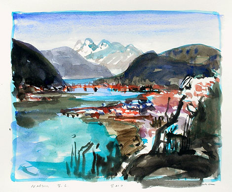
Nelson, British Columbia, 2010, watercolour on paper, 9.5 x 11.5 inches
The valley plain widens at Castlegar where these two large rivers meet. The grave of Peter Verigin, the Doukobor leader murdered in 1924 when a load of dynamite was detonated under his rail coach seat, is on a height of land above the valley. I painted this hillside red.
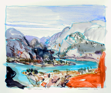
Castlegar, British Columbia, 2010, watercolour on paper, 9.5 x 11.5 inches
Now the Columbia is flowing south. The valley narrows a little at Trail, where the Teck Cominco refinery dominates the town and sits directly on the high cutbank on the river’s western edge. I am fascinated by this famous mill town and spend days here sketching.
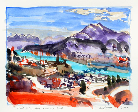
Trail, B.C., from Lookout Hill, 2010, watercolour on paper, 9.5 x 11.5 inches
I was due in Blairmore in the Crowsnest Pass in a few days, so I began the drive east over the Kootenay Pass. It is a high pass with a spectacular summit that has twenty-foot roadside snow banks, tractor- trailer trucks idling to cool down their engines, and intrepid back country skiers walking to the peaks.
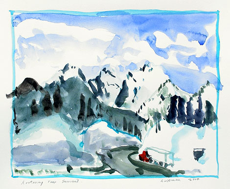
Kootenay Pass Summit, 2010, watercolour on paper, 9.5 x 11.5 inches
I continued east into the warm valleys that had long since lost their light snow cover. When I reached Cranbrook , I made an impromptu decision to follow the Kootenay river north. As I drove to Radium Hot Springs I crossed the imperceptible land divide between the Columbia and Kootenay Rivers. These two rivers that I had been following and which joined in Castlegar after flowing through so much territory, started just a few miles apart on this flat valley floor. The marshes at the headwater of the Columbia were just asking me to spend time painting them but I was due in Blairmore, so I headed back down the Kootenay valley with plans to return next year.
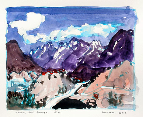
Radium Hot Springs, B.C., 2010, watercolour on paper, 9.5 x 11.5 inches
John Hartman, 2010
